The geology around Colorado Springs tells a complicated story. Pikes Peak granite weathers into coarse, arkosic sands that collect along the Fountain Formation outcrops, while the Pierre Shale layers on the city’s east side produce fat clays that swell with the seasons. A simple visual classification misses what really controls performance — the full distribution from gravel down to colloidal clay. That is why grain size analysis, combining mechanical sieving with a hydrometer sedimentation test, is a standard requirement for almost every geotechnical report we review across El Paso County. The results feed directly into drainage design, frost heave susceptibility, and the Unified Soil Classification (USCS) that governs bearing capacity assumptions. When we encounter highly variable alluvial deposits near Monument Creek, we often pair the Atterberg limits test to confirm the plasticity of the fine fraction, which can shift dramatically over just a few hundred lateral feet in Colorado Springs terrace deposits.
A complete grain size curve is not just about classification — it predicts how water moves through soil, and in Colorado Springs that determines whether a foundation drains or drowns.
Technical details of the service in Colorado Springs
Risks and considerations in Colorado Springs
The hydrometer sedimentation cylinder sits in a constant-temperature water bath, and even a half-degree drift in Colorado Springs' high-altitude lab conditions can shift the effective depth reading enough to throw off the clay fraction by several percentage points. We run temperature corrections every thirty minutes because the diurnal swing at 6,035 feet elevation is no joke. A misclassified soil — calling a clayey sand a silty sand, for instance — cascades into incorrect slope stability parameters, and on the steep colluvial slopes above Old Colorado City that miscalculation has real consequences. The grain size curve also anchors the liquefaction susceptibility screening required per IBC Section 1803.5.12 for sites in Seismic Design Category D, which covers much of the Colorado Springs metro area. If the fines content measured by the hydrometer falls below 15 percent and the sand is uniformly graded, the liquefaction potential assessment moves from a desk check to a full cyclic stress ratio evaluation.
Our services
Grain size analysis in Colorado Springs typically fits within a broader geotechnical investigation, and we configure the testing program based on the formation you are building on. These are the service packages most often requested alongside the sieve and hydrometer work.
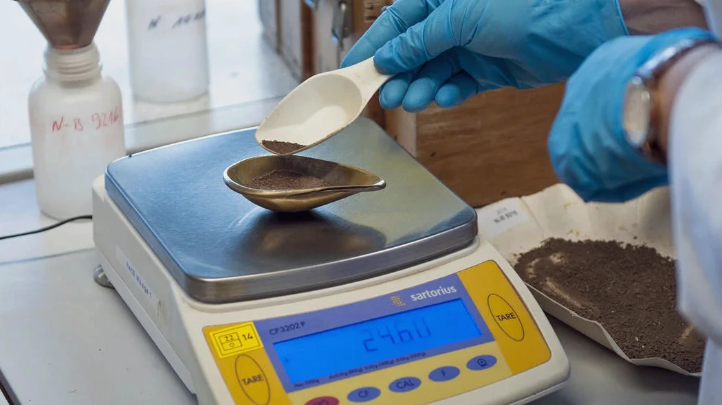
Complete Particle Size Distribution
Combined mechanical sieve analysis (3 in to No. 200) and hydrometer sedimentation test on minus-200 material, reported as a semi-log gradation curve with Cu, Cc, and USCS classification per ASTM D2487.
Wash Sieve Only (No. 200)
Rapid determination of percent passing the No. 200 sieve for field screening and quality control on select fill projects, following AASHTO T-11 procedures with oven-dried specimens.
Hydrometer Analysis with Dispersant Comparison
Parallel hydrometer runs with and without sodium hexametaphosphate dispersant to identify flocculated clays that would otherwise under-report the true clay-size fraction.
Gradation for Aggregate Base and Concrete Sand
Sieve analysis per ASTM C136 for coarse and fine aggregate used in Colorado Springs CDOT roadway base course and ready-mix concrete batch plants, including fineness modulus calculation.
Frequently asked questions
How much does a grain size analysis cost for a Colorado Springs project?
Why do Colorado Springs soils often require a hydrometer test instead of just a sieve analysis?
The Pierre Shale and weathered granite colluvium around the city produce significant silt and clay fractions that pass the No. 200 sieve. A sieve-only test cannot distinguish between low-plasticity silt and active clay, so the hydrometer step is essential for correct USCS classification and to assess frost susceptibility under the local freeze-thaw cycles.
What sample size is needed for a complete grain size analysis?
We generally need about 500 grams of dry soil for sandy material and at least 200 grams for fine-grained soils. The sample should be representative of the stratum in question, and we prefer it shipped in a sealed plastic bag to preserve the natural moisture content if Atterberg limits are also being run.
Can you match grain size curves from different borings to correlate strata across a Colorado Springs site?
Yes, that is a standard part of our reporting. We overlay gradation curves from multiple sample depths and boring locations to identify consistent depositional units. This is particularly useful on alluvial fan sites along the Front Range where lenses of openwork gravel and clay seams inter-finger unpredictably.