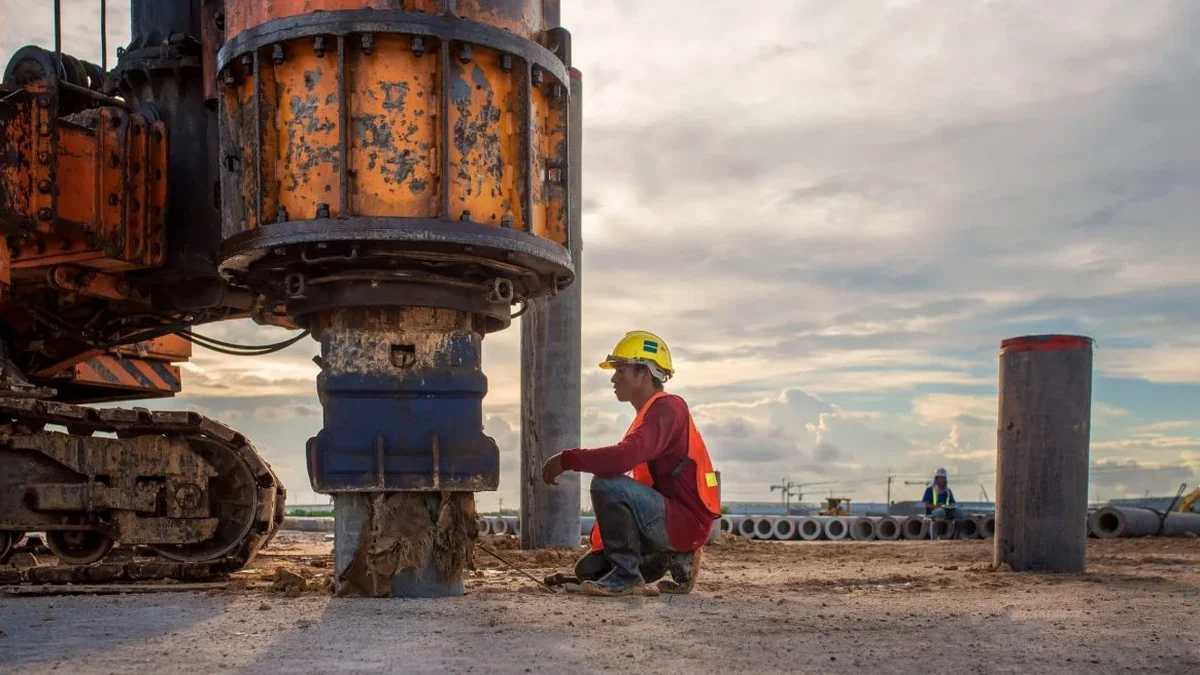
Drillers in Colorado Springs know the drill: you hit weathered Pikes Peak granite at 15 feet on one lot, and 50 feet of sandy gravel the next. Pinpointing the contact between loose overburden and competent rock is not a luxury here—it is what separates a straightforward foundation from an over-excavation nightmare. We run MASW surveys across El Paso County to map the shear wave velocity profile continuously with depth, delivering a measured VS30 value that the structural engineer plugs directly into the ASCE 7 site classification tables. Rather than relying on blow-count correlations that smear the transition, surface-wave testing images the stiffness contrast between the alluvial fan deposits and the underlying granite or Dawson Formation bedrock. When the City requires an IBC Chapter 16 seismic design category, combining the MASW line with a few SPT boreholes gives the geotechnical report the physical ground-truth that plan reviewers expect.
A measured VS30 from an MASW line replaces a generic Site Class D default with a site-specific stiffness profile—often reducing the seismic base shear by 30 percent or more.
Technical details of the service in Colorado Springs
Demonstration video
Risks and considerations in Colorado Springs
The most expensive mistake we see in Colorado Springs is the structural team defaulting to Site Class D because a borings-only investigation never reached 30 meters. When the refusal hits a shallow cobble layer at 4 meters and the driller logs bedrock, the VS30 gets extrapolated from SPT N-values using correlations that were calibrated for young alluvium—not for cemented Fountain Formation conglomerate. The result is a soft-site classification that drives up the seismic design category and adds unnecessary moment frames or shear walls. With a direct MASW measurement, the stiff cemented gravels are correctly captured and the project receives a Site Class C designation that reflects the actual ground conditions. For sites where the MASW indicates potential liquefiable layers, we follow up with a targeted liquefaction analysis using the measured VS profile and the Youd-Idriss triggering framework.
Our services
Each Colorado Springs project gets a scope tailored to the site geology and the structural engineer's required deliverables. Our field crew has worked on slopes along Austin Bluffs Parkway, infill lots near downtown, and large graded pads east of Powers Boulevard.
VS30 Site Classification Package
One or more MASW lines processed to a 1D VS profile with the computed VS30 value and the corresponding ASCE 7 Site Class. Includes the dispersion curves, inversion parameters, and a signed engineering report ready for city plan review.
Combined MASW + Downhole Seismic
When the project has an existing SPT boring reaching 30 meters, we run a downhole survey in the open borehole and tie it to a surface MASW line. The cross-check between the two methods gives the highest confidence for a Site Class A or B determination.
2D Shear-Wave Velocity Cross-Section
For sites with lateral variability—such as a buried paleo-channel crossing the building footprint—we process multiple MASW lines into a 2D VS cross-section that maps the stiffness boundaries across the pad.
Frequently asked questions
How much does an MASW survey cost in Colorado Springs?
Does the City of Colorado Springs accept MASW for VS30 classification?
Yes. The Pikes Peak Regional Building Department accepts geophysical VS30 measurements per ASCE 7 Section 20.4 as an approved method for assigning a Site Class. We deliver a report formatted for the IBC submittal package with the raw dispersion data and processed inversion results.
How long does the field work take and when do we get the report?
A standard 46-meter MASW line takes roughly two hours of field time, including the deployment, multiple hammer-stack acquisitions, and equipment retrieval. The processed report with the VS profile and VS30 classification is delivered within three business days. Expedited 24-hour turnaround is available for tight submittal deadlines.
Can MASW work on sites with shallow bedrock like the Pikes Peak granite?
It works very well. On sites where the weathered granite or Dawson arkose is within 10 to 15 feet of the surface, the MASW dispersion curve shows a sharp velocity increase at that depth. The inversion captures the stiff bedrock correctly, and the computed VS30 often lands in Site Class B or C, which is much more favorable than a default Site Class D assumption.