Colorado Springs sits at the edge of the Denver Basin, where the Front Range uplift meets deep sedimentary deposits. This geological transition creates sharp contrasts in ground motion potential—bedrock outcrops near Garden of the Gods behave fundamentally differently than the alluvial fans stretching east toward Powers Boulevard. The city's expansion onto these variable substrates, combined with its proximity to the Rampart Range fault zone, demands more than a generic IBC site class assignment. A rigorous microzonation incorporates shear wave velocity profiling, basin geometry, and local amplification functions. We often combine MASW surveys for VS30 mapping with seismic refraction lines to define the bedrock interface where the Pierre Shale and Dawson Arkose formations interact, providing the spatial resolution required for code-compliant design in a city with 7,000 ft of topographic variation.
In Colorado Springs, a 15% deviation from the ASCE 7 default spectrum is common—microzonation captures the difference between a passing design and a vulnerable one.
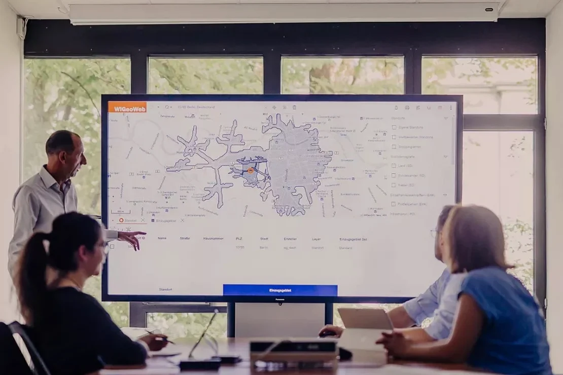
Technical details of the service in Colorado Springs
Demonstration video
Risks and considerations in Colorado Springs
Compare Downtown Colorado Springs with areas near the Colorado Springs Airport. Downtown sits on the Dawson Arkose, a competent sandstone with VS30 values often exceeding 500 m/s, placing it in site class C. The airport area, however, lies on Quaternary alluvium and windblown sands overlying the Pierre Shale—VS30 drops to 250–350 m/s, site class D. This difference translates to a 30–50% increase in spectral acceleration at short periods for the airport site. Missing this detail means foundation designs that underestimate base shear, or worse, a seismic gap analysis that overlooks the potential for liquefaction in saturated lenses along Sand Creek. Our hazard maps explicitly delineate these transitions, giving structural engineers the tools to adjust their lateral force-resisting systems block by block rather than applying a single site coefficient across the entire parcel.
Our services
The microzonation deliverables we produce for Colorado Springs projects extend beyond standard hazard maps. Each study is calibrated to local geological units and intended to integrate directly with structural or geotechnical design workflows.
VS30 Mapping and Site Classification
Combination of active MASW, passive MAM, and refraction microtremor (ReMi) with borehole velocity checks to produce classified maps compliant with ASCE 7 Chapter 20. GIS deliverables for direct import into structural models.
Site-Specific Response Spectra and Amplification Functions
1D nonlinear and equivalent linear site response analysis using DEEPSOIL to generate surface spectra, amplification factors, and time histories for input into foundation and superstructure design. Includes sensitivity analysis for basin edge effects.
Frequently asked questions
How much does a seismic microzonation study cost for a typical project in Colorado Springs?
What is the difference between a regional hazard map and a site-specific microzonation?
Regional hazard maps, such as the USGS National Seismic Hazard Model, provide smoothed ground motion estimates on a 1–2 km grid and do not capture local site effects from thin soil layers or topographic features. Microzonation refines this to the parcel scale. In Colorado Springs, this means distinguishing between bedrock outcrop on the mesa and soft alluvium in the creek valley—two conditions that can exist within 200 m of each other but produce drastically different amplification behavior.
How do you handle the basin edge effect in the Denver Basin under Colorado Springs?
The basin edge where the Dawson Arkose pinches out against the Front Range uplift generates converted body waves and surface waves that can amplify ground motion by 20–40% compared to 1D predictions. Our approach uses 2D seismic refraction lines across suspected basin edges to define the geometry, then applies 2D finite difference or spectral element modeling where the basin depth gradient exceeds 10%. For most projects, we bound the uncertainty by running multiple 1D profiles across the transition zone and reporting the envelope.
What geophysical methods do you use for VS30 determination in urban areas?
In urbanized parts of Colorado Springs, we prioritize passive-source methods like ReMi and MAM that use traffic and microtremor noise, avoiding the need for large hammer or weight-drop sources. These are combined with active MASW along quieter streets or parking lots. Where space permits, we run a parallel CPT test with seismic cone to provide a direct velocity profile for calibration. The combination yields VS30 with less than 10% coefficient of variation, meeting the Class A/B requirements of NEHRP guidelines.